GLIMR
Explore the GLIMR Mission
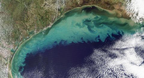
The Geostationary Littoral Imaging and Monitoring Radiometer (GLIMR) is a space-based instrument that will help scientists observe and monitor ocean biology, chemistry and ecology throughout the Gulf of Mexico, the southeastern U.S. coastline and Amazon River plume that stretches to the Atlantic Ocean. GLIMR is unique as it will provide scientists hyperspectral ocean color data at 70-minute frequencies.
With funding from NASA, GLIMR will provide federal, state, and local agencies with vital information on coastal hazards (such as oil spills, harmful algal blooms, post-storm assessment, and water quality) for improved response, containment, and public advisories both at sea and along the coast.


