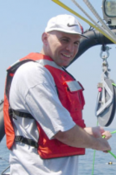
Shachak Pe'eri
Dr. Shachak Pe’eri is currently the branch chief of the Chart Standards Groups (CSG) at NOAA’s Office of Coast Survey / Marine Chart Division. Shachak Pe’eri received his Ph.D. degree in Geophysics from Tel Aviv University, Israel. In 2005, he started his post-doctoral work at the University of New Hampshire's Center of Coastal and Ocean Mapping (CCOM) with a Tyco post-doctoral fellowship award. Before coming to NOAA in August 2016, Dr. Pe’eri was working as a research associate professor in optical remote sensing in the littoral zone with a focus on experimental and theoretical studies of lidar remote sensing (airborne lidar bathymetry, topographic lidar, and terrestrial laser scanning), hyperspectral remote sensing, and sensor fusion. In addition to optical remote sensing, Dr. Pe’eri’s interests are marine cartography and Geographic Information Systems (GIS). Shachak Pe’eri is a member of the (American Geophysical Union) AGU and the Ocean Engineering (OE) and Geoscience and Remote Sensing (GRS) societies of IEEE and of The Hydrographic Society of America (THSOA).