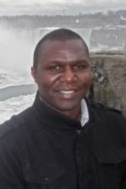
Michael Bogonko
Michael is currently working on Hurricane Sandy post-disaster research work, mostly providing support to NOAA’s ICOM/JHC group in operational planning, processing practices of massive amounts of LIDAR and acoustic data to establish the best possible operational methods. Before joining ICOM/JHC, Michael worked as a consultant in engineering and environmental firms applying expertise in GIS/geospatial applications, hydrological modeling and data processing. He has been an RA and TA in the department of Civil and Environmental Engineering at UNH. Michael has an MS in Civil Engineering from San Diego State University, CA. He holds a BS focusing on GIS and geography with a minor in Mathematics from University of Nairobi. He also holds an MS in Physical Land resources in Engineering Geology from VUB, Brussels, Belgium.